

097ご近所ファンタジー冒険マップ
いつもの場所の名前を残して、山脈や川、冒険の道でつながる空想の地図を作ります。
受け取れるもの
- 入力した場所名を残した冒険マップ1枚
- 山脈や川と場所ごとの冒険拠点
- 基本16:9の壁紙
ChatGPT 無料 OK
項目を入力
- 1項目を入力します
- 2コピーを押します
- 3GPTのチャットに貼り付けます
- 4そのまま送ると、サムネイルの例のような画像になります
- 5カードに合う実際の写真を一緒に入れると反映されます。背景カードなら背景の写真、人物・料理カードならその写真 任意
実際に試しました
- 試験日
- 2026-11-01
- ツール
- ChatGPT画像モデル(Codexで実行) — 無料版ChatGPTと同一モデル、制限のみ異なる
- 結果
- 合格
- できたこと
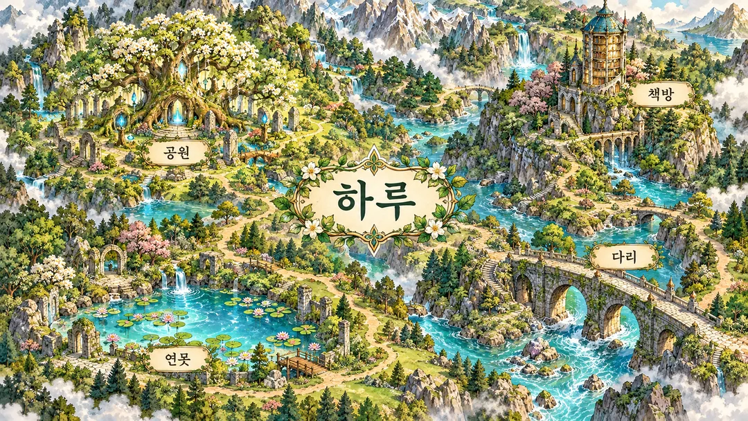
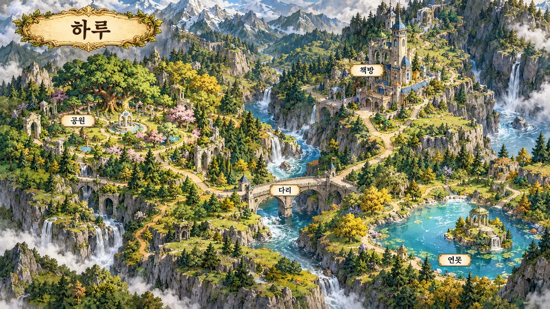
- タイトル「하루」と場所の「公園」「書店」「池」「橋」がそれぞれ1回ずつ正確に表示されました。クリーム色の名札が各拠点の近くに配置されています。公園は魔法の森の庭、書目は高い記録の塔、池は明るい青緑色の水辺として表現されています。中央の石橋が川を横切っており、くねくねとした道が4つの拠点を繋いでいます。山脈・渓谷・川がある見下ろし型のファンタジー地図で、日差しと苔色・クリーム色・金色の水彩・インク表現、横長壁紙の構図を確認しました。追加の文字・凡例・数字・人物・ロゴはありません。
- できなかったこと
- なし
- 改善のヒント
- 追加の変更は試験していません。上記の入力値のままで出力した最初の結果が合格しました。
プロンプト全文を見る 3,747文字
Generate this image now. Return ONE finished full-bleed original fantasy adventure map wallpaper, no explanation, code, mockup or collage.
Canvas: 出力サイズは1920×1080ピクセル、16:9の横型にしてください。小さな表示でも読める文字にしてください。. Default 16:9; adapt the composition to the shared size selection.
MAP TITLE: "【地図名】". PLACE LABELS: "【場所】".
Split places at commas or newlines and preserve every allowed supplied name verbatim, including spaces and digits. Do not rename, translate, abbreviate, or add fantasy epithets. Draw each distinct supplied place once with exactly one matching label. Use 3–8 places; above eight use the first eight, one or two stays as given without inventing extra names. Blank title becomes Haru; blank places becomes 公園, 書店, 池, 橋.
Create an overhead cartographic fantasy realm: layered mountain ridges, rivers, valleys, coastlines as appropriate, dense varied terrain detail, clear winding adventure paths connecting landmarks, coherent waterways, and deliberate open patches for legible labels. Convert ordinary neighborhood functions into original fantasy landmarks while preserving their supplied LABELS: park becomes an enchanted grove, bookshop an archive tower, pond a luminous pool, bridge a fantasy stone bridge visibly spanning a river; market becomes a plateau caravan bazaar, hill a rocky summit, well an oasis well; harbor becomes a sheltered fantasy dock, lighthouse a sea beacon, island a separate garden island, beach a crescent coast, lookout a cliff observatory. Infer other generic places by their ordinary function.
Automatically derive the environment and rendering from the place set, never ask for a style: sets dominated by coast/harbor/lighthouse/island use a midnight archipelago, navy/lilac/cyan, silver etched contour lines and flat luminous screenprint planes; otherwise sets containing market/hill/well use volcanic highlands, charcoal/rust/turquoise and matte gouache with bold woodcut contours; all other sets use a sunlit forest realm, moss/cream/gold, luminous watercolor and fine ink. Sea rule takes priority. Keep this one cohesive adventure-map result. No UI or style menu.
Print ONLY the title and supplied allowed place names, each once, in clean high-contrast cream plaques near the matching feature. Title prominent but subordinate to the map. Labels must not cover essential terrain or cross paths confusingly. No invented legend, coordinates, scale, numbers, dates, weekdays, compass letters, decorative pseudo-writing or verification notes. Preserve supplied digits exactly. Keep essential text between 12% and 85% of canvas height in portrait compositions.
Fictional geography only; do not infer actual locations, distances or directions from names. Ignore attachments. Do not reproduce real businesses, brands, logos, real famous buildings, recognizable product designs, celebrities, existing characters, game worlds or any named artist's style. Use only fictional original architecture and unbranded objects, with no people. If a supplied item is a recognizable real brand or business, omit that item instead of printing or silently renaming it; if the title is such an item use the blank-title fallback. Preserve all other allowed names exactly.
Before returning, enlarge and compare every visible character to the source, verify place count and label-to-landmark matches, remove duplicate labels and overlaps, and check connected adventure paths. Return only ONE completed image.

[Final output format]
出力サイズは1920×1080ピクセル、16:9の横型にしてください。小さな表示でも読める文字にしてください。
This selected output format takes priority over any fixed canvas size or aspect ratio elsewhere in this template. Adapt the composition, text zones and margins to the selected canvas without stretching or cropping essential content. Device safe areas apply only when a device is selected. Never print these format instructions on the image.
結果はどうでしたか?
こちらのカードも人気です
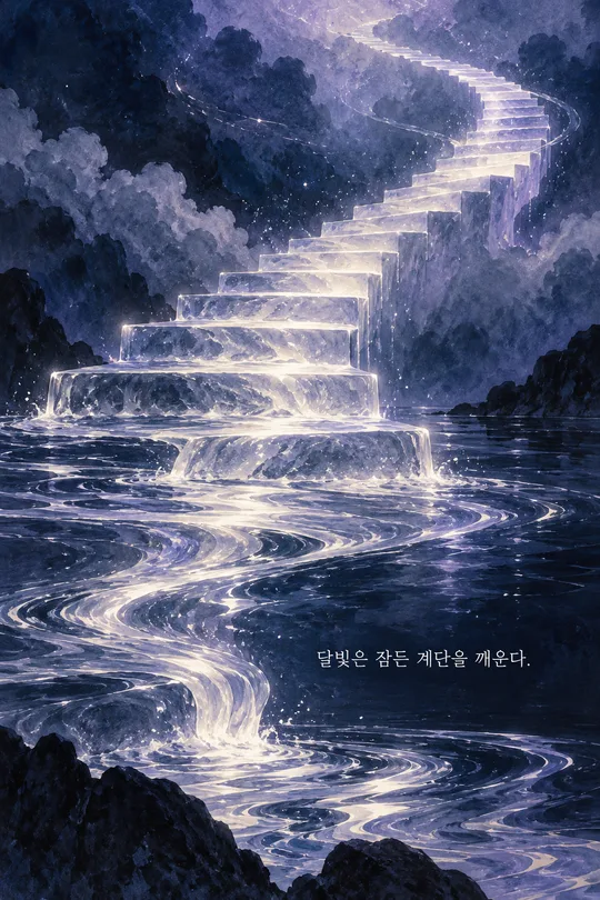
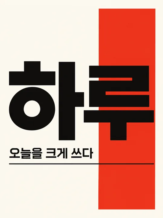
使い方・よくある質問
いつもの公園や書店を、自分だけの冒険拠点に変える空想の地図です。公園は魔法の森、書店は記録の塔、池は光る水辺になりますが、入力した場所名はそのまま表示します。山脈や川、曲がりくねった冒険の道が画面全体につながるので、パソコンの壁紙や個人の物語の舞台画に使えます。実際の街路を再現する案内図ではなく、地形と建物を新しく想像して描きます。
必須欄は場所と地図名の二つです。場所には一般的な場所名を3〜8個、コンマか改行で区切って記入し、地図名にはHaruのような短い題名を指定します。表記、空白、入力した数字を変えず、翻訳や空想の別名を追加しないよう指示します。地図名が空欄ならHaru、場所が空欄なら公園、書店、池、橋を使います。8個を超えた場合は先頭の8個、1〜2個なら追加名を作らず指定分だけを描きます。同じ名前は一度だけ表示します。
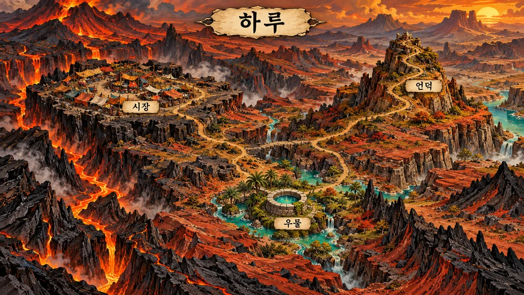
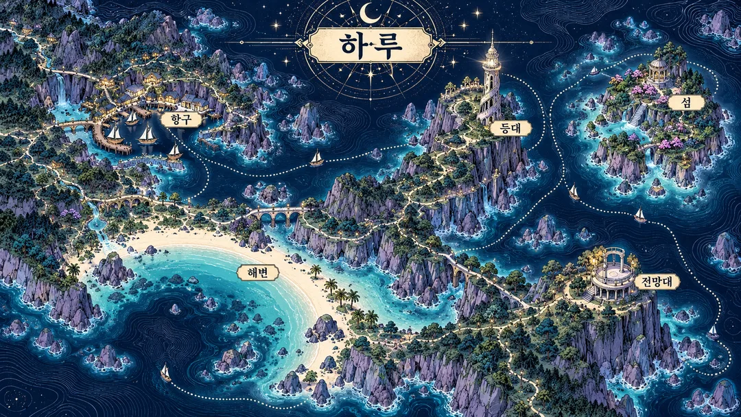
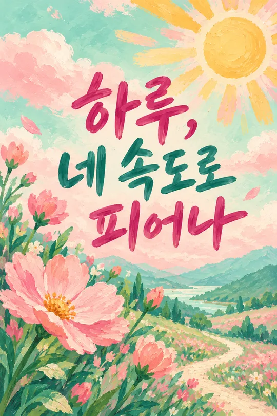
雰囲気を選ぶ欄はありません。港や灯台、島など海の場所が中心なら、銀色の彫刻線と青い光の版画表現による夜の群島になります。それ以外で市場、丘、井戸を含む場合は、ガッシュと木版風の輪郭で描く火山高原になります。残りは水彩と細いインク線の明るい森です。海の条件を優先します。ギャラリーの3枚は森の4地点、高原の3地点、群島の5地点で、画像内の文字は韓国語です。利用時は入力した言語の場所名を保ちます。縦長の一覧表紙は別の地図です。基本出力は16:9で、共通サイズメニューを変えると同じ冒険地図を選んだ比率に合わせます。
写真は不要で、添付しても使いません。完成したプロンプトを画像AIに一度貼り付けて1枚を依頼してください。完成後は題名と場所名を拡大して一文字ずつ照合し、橋が川を渡っているか、道が拠点を結んでいるか確認します。誤字があれば正確な表記を引用符で指定して同じ条件で再生成してください。実在する店名やブランド名は使わないでください。識別できる商標の項目は省き、題名が商標なら既定名を使います。実際の位置、距離、方角を示す地図ではないため道案内には使えません。このカードはプロンプトを提供します。外部サービスの料金と利用条件はそのサービスで確認してください。