
項目を入力
- 1項目を入力します
- 2コピーを押します
- 3GPTのチャットに貼り付けます
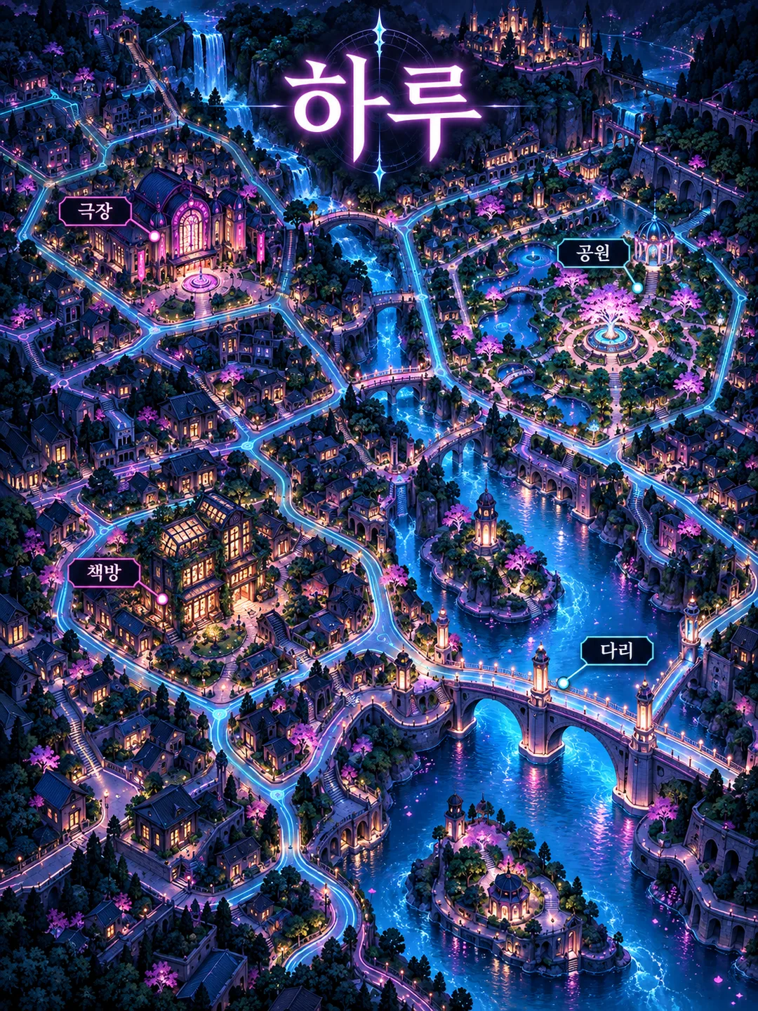
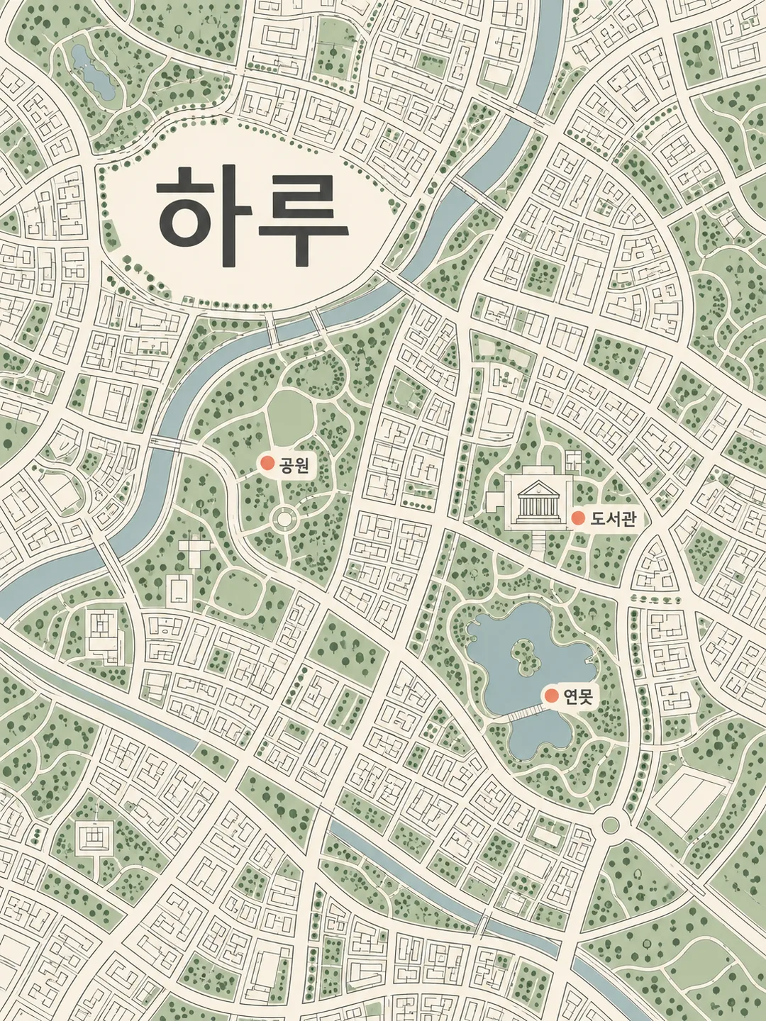
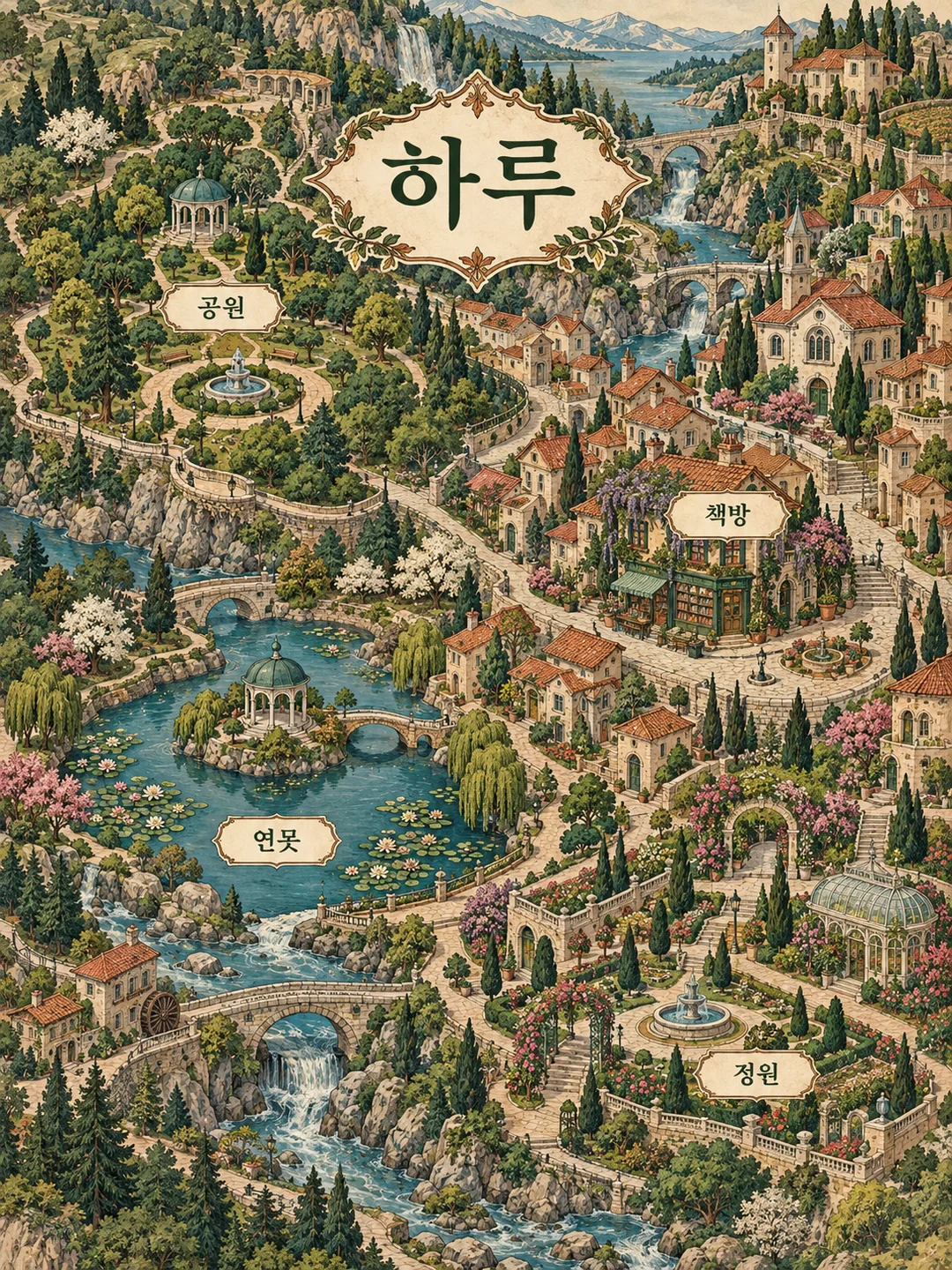
- 4そのまま送ると、サムネイルの例のような画像になります
- 5カードに合う実際の写真を一緒に入れると反映されます。背景カードなら背景の写真、人物・料理カードならその写真 任意
プロンプト全文を見る 2,709文字
Generate this image now. Return exactly ONE finished full-bleed fictional neighborhood map poster, no explanation, code, mockup or follow-up. Output format: 出力サイズは1080×1440ピクセル、3:4の縦型SNS投稿にしてください。; default 3:4.
Use neighborhood title "【街の名前】" and 3–6 place labels from "【場所】". Split places at commas or newlines. Preserve each allowed label verbatim including spelling and spacing, and draw each exactly once near its matching landmark. Make the title large and dominant near the upper center, below the top 12%. Keep all labels above the bottom 15%, legible on clean areas without overlap. Do not translate or shorten supplied text. Empty title defaults to Haru; empty places default to 公園, 本屋, 池, 庭園. More than six entries uses the first six; one or two entries stays as supplied without inventing additional labels.
Mood "【雰囲気】" chooses one treatment: ビンテージイラスト = dense cream, forest-green and terracotta illustrated imaginary village with varied architecture and winding paths; ネオンダーク = dark navy with luminous cyan streets and magenta accents, original illustrated buildings and restrained glow; ミニマルライン = flat top-down fine charcoal street lines on ivory, sage park blocks and coral landmark markers. Empty mood defaults to ビンテージイラスト. Keep the chosen treatment consistent within this one image.
Create original invented geography with connected winding streets, distinctive landmarks, varied small buildings, vegetation and optional water. This is a picture map, never a navigation map. Do not copy real maps or actual geography. Do not add coordinates, scale, addresses, transit details or factual distance claims. Depict places by generic function only. Do not reproduce actual businesses, real brands, logos, famous architecture, existing products, characters or recognizable people. If input contains a real business or brand, omit that entry rather than printing it; preserve every other allowed label exactly. All buildings and objects are fictional designs. No people are needed. Print only the title and allowed supplied place names: no extra slogans, numbers, dates, weekdays, legends, watermarks, signatures or verification notes. Fill the canvas with map art, not a sheet resting on a surface. Before returning, compare every visible character against the input and check that every allowed place appears once and connects visually to the street network.

[Final output format]
出力サイズは1080×1440ピクセル、3:4の縦型SNS投稿にしてください。
This selected output format takes priority over any fixed canvas size or aspect ratio elsewhere in this template. Adapt the composition, text zones and margins to the selected canvas without stretching or cropping essential content. Device safe areas apply only when a device is selected. Never print these format instructions on the image.
結果はどうでしたか?
こちらのカードも人気です
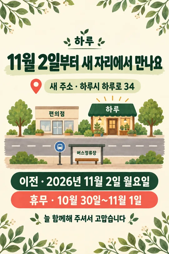
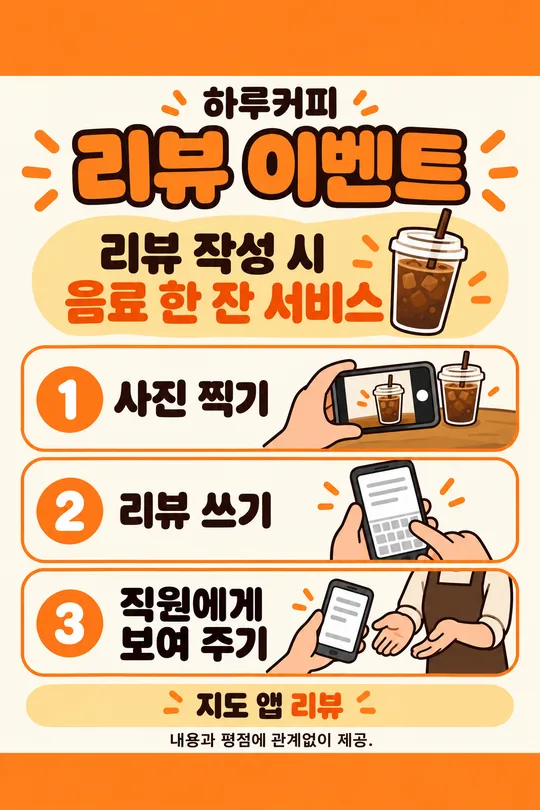
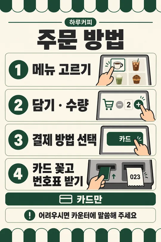
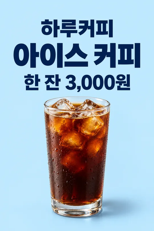
使い方・よくある質問
部屋に飾ったり、好きな街の思い出を友人と分け合ったりするためのイラスト地図です。短い街の名前と、好きな場所を3〜6個、コンマまたは改行で区切って入力します。入力した文字と空白をそのまま表示する指示です。街の名前が空欄ならHaru、場所が空欄なら公園・本屋・池・庭園を使います。7個以上は先頭の6個、1〜2個なら追加せずそのまま描きます。雰囲気はビンテージイラスト、ネオンダーク、ミニマルラインから選べます。空欄ならビンテージイラストです。標準比率は3:4で、共通サイズメニューから変更できます。写真や実際の地図の添付は不要です。完成したプロンプトを画像AIに一度貼り付けてください。出力後は街の名前と各場所を拡大し、一文字ずつ照合してください。場所の重複や欠落も確認します。誤字があれば正しい表記を引用して再生成を依頼します。実在する店舗名やブランドは入力しないでください。該当する項目は出力から除外されます。道や建物は架空なので、経路・距離・方角の案内には使えません。